
New automated reconnaissance UAS designed for defense
NewsApril 24, 2020

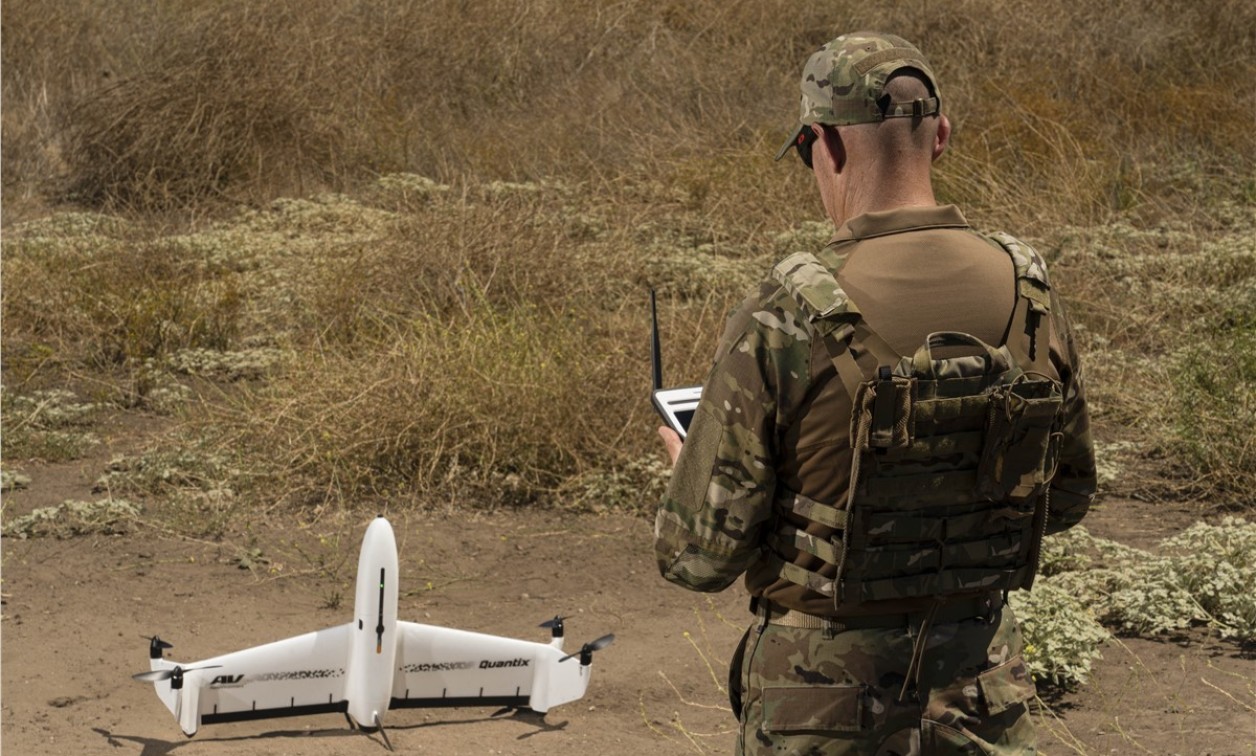
MONROVIA, Calif. AeroVironment, Inc., unmanned aircraft systems (UAS) manufacturer, announced the availability of Quantix Recon, a fully-automated reconnaissance solution that is designed to deliver high resolution, geo-referenced terrain, vegetation, and infrastructure imagery, intended to provide ground forces with on-demand actionable intelligence.
Quantix Recon aims to combine the vertical takeoff and landing (VTOL) advantages of a multi-rotor drone with the range, speed, and efficiency of a fixed-wing unmanned aircraft.
Featuring fully-automated flight operation, Quantix Recon is designed to survey up to 0.6 square miles, or 12.4 linear miles, per 45-minute single-battery flight. Multiple automated reconnaissance mode options intend to allow users to choose between line (route), area and waypoint targeted data capture.
According to the company, collected aerial imagery data is compatible with a range of available geographic information system (GIS) analytical tools to facilitate further analysis. Onboard processing aims to deliver high-resolution imagery immediately on the included operating tablet upon landing and is designed so that no other devices, internet, or software are required.


