Esri technology to be used in Navy remotely piloted vehicles for situational awareness
NewsJune 07, 2017


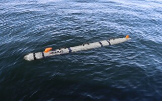
REDLANDS, Calif. Spatial-analytic software maker Esri has announced that its technology will be used for the first time with U.S. Navy unmanned marine systems to improve how information is gathered prior to ocean and near-shore operations.
The Naval Meteorology and Oceanography Command (NMOC) will use Esri’s software to analyze ocean data -- such as water temperature, humidity, wind speed, and topography -- all in near real-time; using this information, Navy commanders will be able to make faster tactical decisions, as they will have the ability to better incorporate environmental conditions into their operational plans.
In the past, marine measurements were performed by skilled personnel covertly inserted into the field, a move often costly and dangerous. Additionally, manual integration of the data collected often took days.